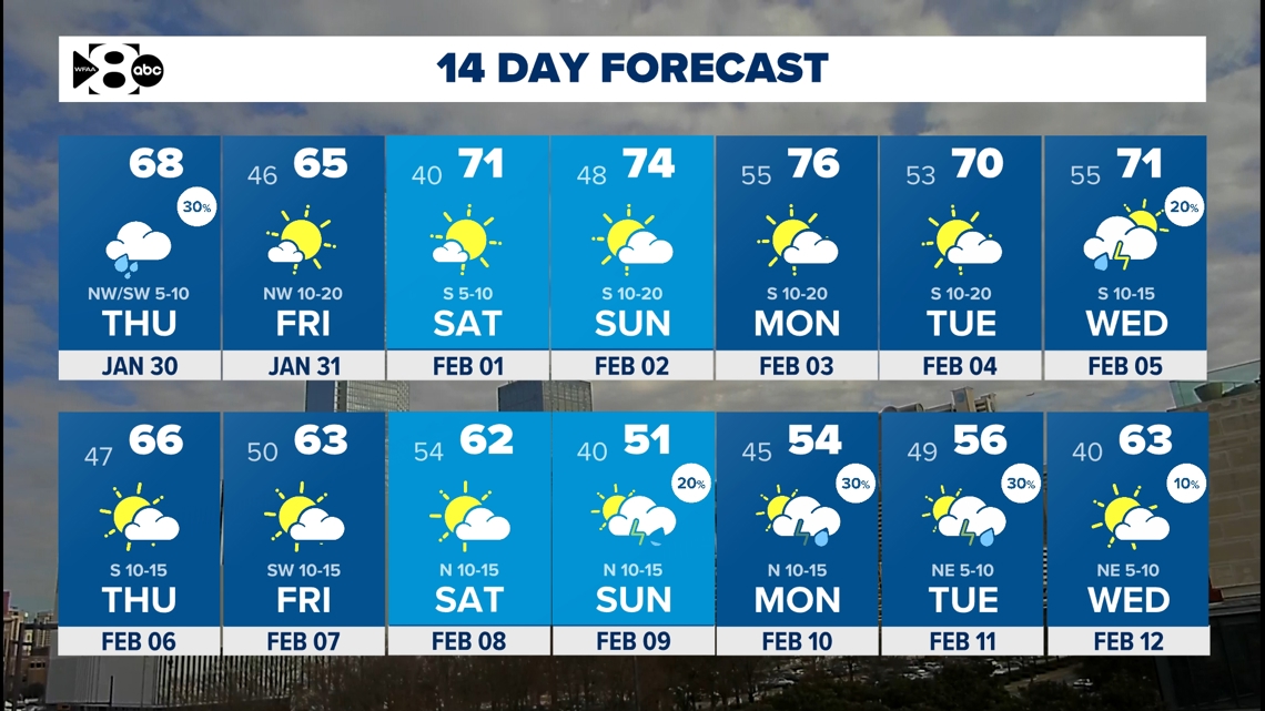
Rain is moving out Thursday afternoon. Highs will be in the 70s with sunny skies over the weekend.
DALLAS — Watch live radar and forecast updates on the WFAA+ streaming app and download the WFAA app for alerts from our team.
Enjoy the upcoming stretch of sunshine and warm temperatures after a stormy middle part of the week.
Key Takeaways
- Rain moves out by Thursday afternoon
- Warmer and drier end of the week
- Spring-like weekend ahead
DFW Airport reports record daily rainfall two days in a row!
Yesterday: 2.80″ (previous .93 in 1999)
Today: 1.33″ (previous 1.24 in 1986)
As we head into the afternoon hours on Thursday, showers and thunderstorms will gradually clear out from west to east. If you are on the roads, take extra caution as water may take a bit to clear out.
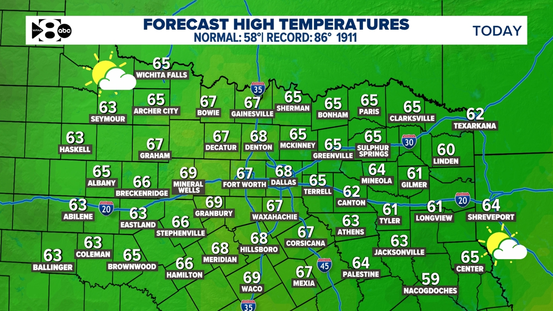
Afternoon temperatures will hover in the mid 60s, providing a much-needed break from the persistent rain.

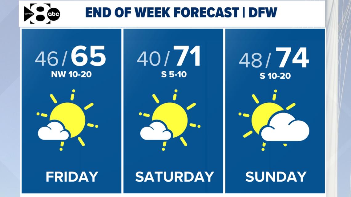
Friday and the Weekend Warm-Up
Friday marks the beginning of a warming trend. High pressure will build in, so expect temperatures to climb! Friday night will be the coldest of the next several days, with lows dropping into the upper 30s to lower 40s under clear skies.
By Saturday, temperatures reach the mid-60s in northeastern areas to the low-to-mid 70s. This warming trend continues into Sunday and early next week, as southwesterly winds bring even warmer air into the region.

Next week looks more like spring
Temperatures will remain well above normal through the start of next week, with afternoon highs climbing 10 to 25 degrees above normal for February. However, a brief cooldown is expected midweek as a cold front approaches, knocking highs back into the mid-60s. Looking ahead, rain chances return midweek, particularly on Wednesday and Thursday, as another disturbance moves through the region. As of now, it does look like temperatures cool down a bit closer to normal as we head into mid-February.
14 Day Forecast