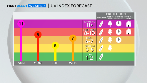
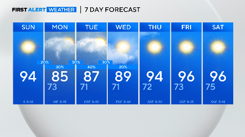
NORTH TEXAS — We are off to a bright day Sunday with full sunshine across North Texas. As you make your plans, don’t forget to grab your sunscreen and think about taking time out of the sunshine at times. The UV index is in the extreme levels today.
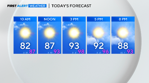
While our high temperature forecast is slightly cooler than our 97° high Saturday, the dewpoints are in the lower 70s so the feels like temperature will make Sunday feel like the upper 90s!
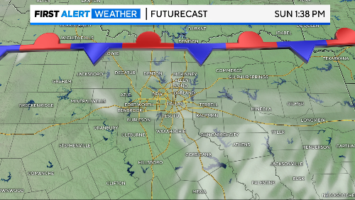
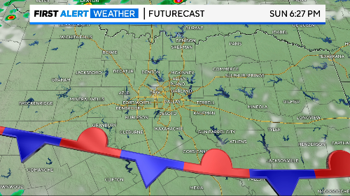
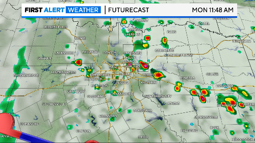
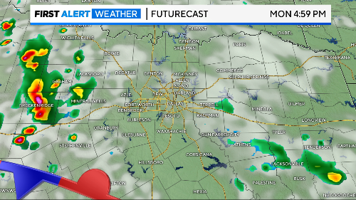
We’ve had nice stretch of sunny and dry days but that is coming to end as soon as late Sunday night and Monday. A cold front in Oklahoma is moving south and should cross the Red River later Sunday. Most of the rain and any isolated storms look to stay north of the boundary today but that changes Monday as the front slowly fizzles out around the I-20 corridor. There is a 30%-40% chances of scattered showers and some isolated storms.
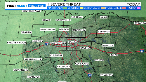
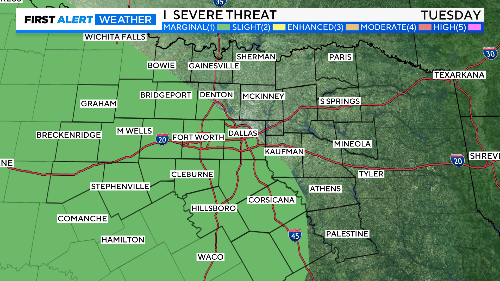
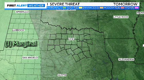
As of Sunday, the severe threat the next three days remains in the lowest level. Any storms that reach severe have a marginal risk of damaging wind gusts and some small hail.
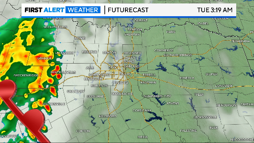
After the front lifts to the northeast through Tuesday, we dry out and the sunshine returns. That means he cool down is short-lived because the sunshine is back in full force and we see temps warm to the mid 90s to round out next week.

Featured Local Savings
