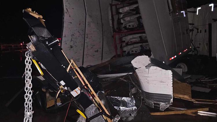
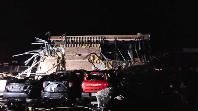
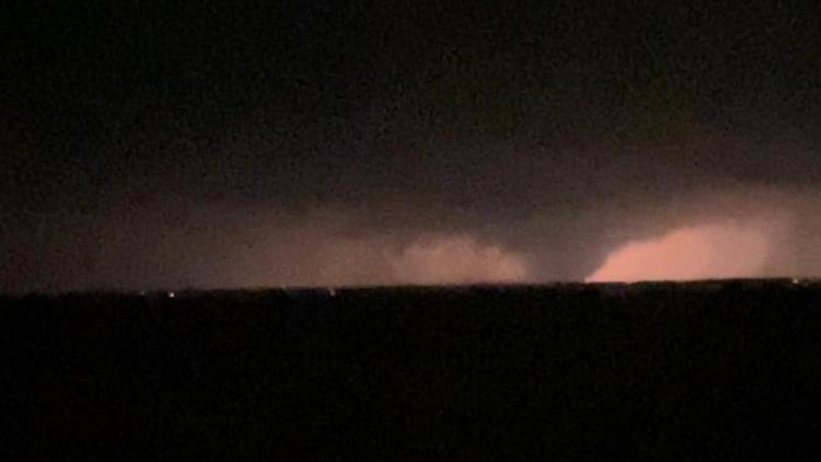
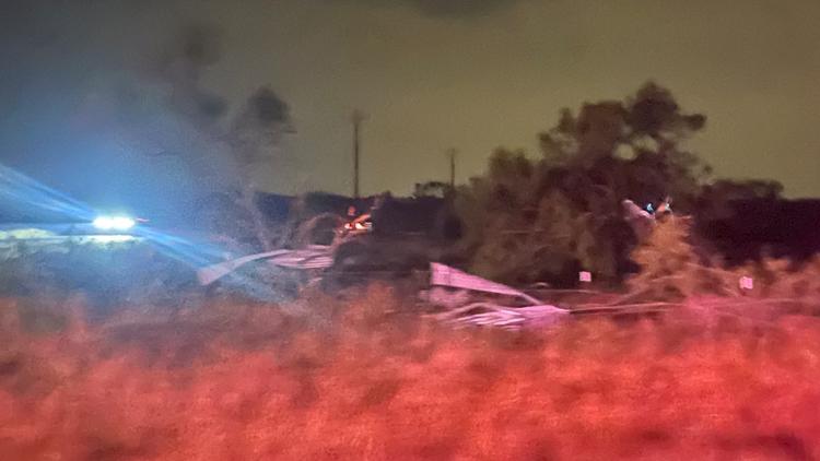
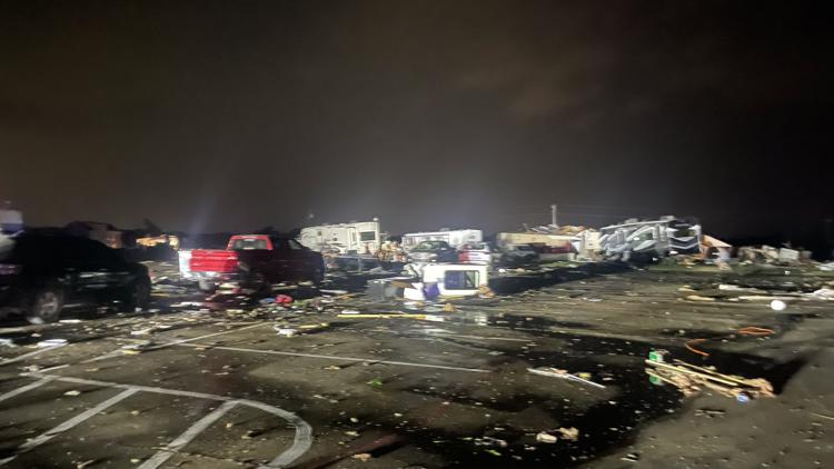
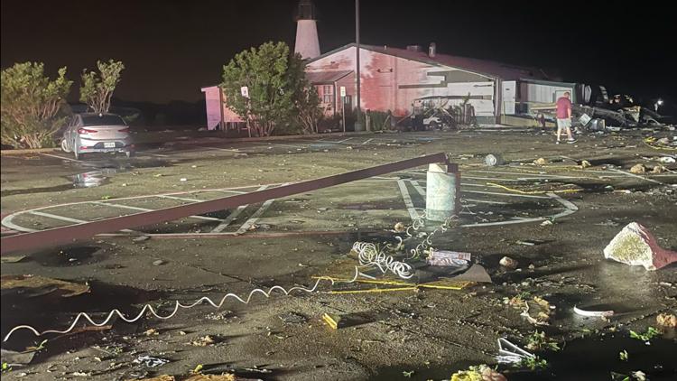
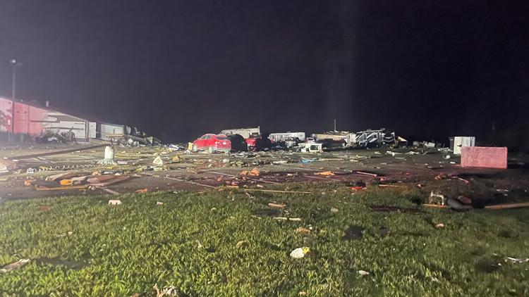
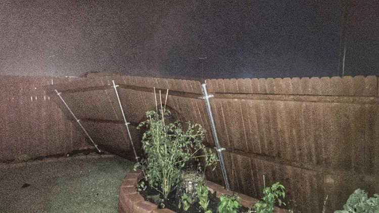
Here are some of the images we’re seeing after severe storms rolled through North Texas.
SANGER, Texas — Severe storms swept through North Texas late Saturday night into early Sunday morning, prompting reported tornadoes in multiple counties — particularly across southern Cooke County and northern Denton, Collin and Hunt counties.
Cooke County Sheriff Ray Sappington confirmed multiple fatalities, dozens of injuries and overwhelming property damage near the AP Travel Center just south of Valley View.
“We’ll rebuild,” Sappington said early Sunday morning. “It’s Texas. We can rebuild property, and as horrible as this looks, in two or three months, it won’t look like this [then]. It’ll be better. But the loss of life is just tragic. It’s always tragic. That’s what hurts the most.”
Early Sunday morning, Denton County officials also reported damaged homes, overturned 18-wheelers and downed power lines on I-35E.
“Damages were reported to the Ray Roberts Marina and motorhomes on Marina Circle on the Sanger side of Ray Roberts Lake,” Denton officials said in a statement. “Power outages and downed trees were reported in Sanger and Pilot Point.”
Meanwhile, a shelter has been opened at the Sanger ISD Indian Gym for those who have been impacted by the storm. It will remain open overnight, officials said.
The number of injuries in Denton is unclear as of early Sunday morning.
Oncor reported over 2,000 active outages and over 50,000 customers without power as of 9:30 a.m. Sunday, May 26. For a map of the active outages, go here.
Deputies said they were out checking homes and trailer parks for anyone in need of assistance and road crews are working to remove trees from roads.
Officials in Celina also reported damaged homes, and officials in Pilot Point were working to assess damage.
Below is a look at some of the damage suffered Saturday night into Sunday morning across North Texas:
PHOTOS: Damaged buildings, cars seen in North Texas as severe storms moved through Saturday night
WFAA crews headed to the scene. We’ll update this post as additional information becomes available.

