BRYAN, Texas (KBTX) – The First Alert Weather Team, along with meteorologists all over the world, tracked Beryl from the west coast of Africa to the Coastal Bend of Texas. While we were primarily focused on what was happening at the surface, a research group from Texas A&M studied the storm from a different angle.
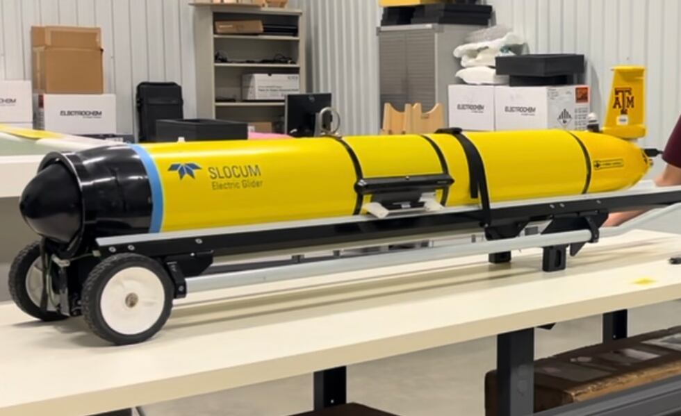
The Texas A&M Geochemical and Environmental Research Group (GERG) deployed gliders into the Gulf of Mexico to help aid in forecasting the track and intensity of Beryl. Gliders are unmanned instruments used to measure variables like density, salinity, and temperature anywhere from the surface to 1000 meters down. As one of the top research institutes in America, Texas A&M is home to six of the 1500 total gliders in existence.
GERG works closely with the National Oceanic and Atmospheric Administration (NOAA) and the National Hurricane Center (NHC) to help provide the most accurate tropical forecasts possible. With Beryl specifically, the forecast shifted significantly as it entered the Gulf of Mexico. Texas A&M gliders helped to identify the factors leading to the northeastern turn and intensification in Beryl’s path just before landfall at the Texas coast.
Dr. Steve DiMarco, the Director of Texas A&M GERG, said there were notable increases in sea temperatures that would undoubtedly lead to intensification prior to Texas landfall.
All of the data collected from these instruments is available to the public, and is widely used by forecasters around the globe. The primary goal of these observations is to “protect human lives, protect property from damage, protect industry and peoples’ livelihoods, and [overall] improve the well-being of humans”.
The Texas A&M Geochemical and Environmental Research Group has been collecting data in the Gulf of Mexico for decades, and they will continue to do so this year in anticipation of an above average Atlantic Hurricane Season.
Copyright 2024 KBTX. All rights reserved.
